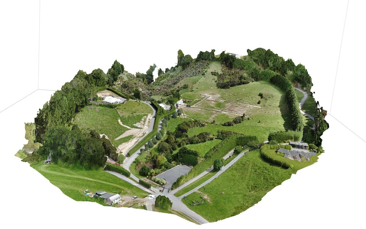
Imagine transforming your project with data that's precise, actionable, and unparalleled in accuracy
Imagine transforming your project with data that's precise, actionable, and unparalleled in accuracy. Our advanced aerial mapping solutions offer precisely that.
High-resolution data that supports smarter decision-making.
Expertise in national and international drone operations.
Comprehensive services tailored to your unique needs.
Leverage the power of aerial mapping with NZ Drones for an elevated perspective.
info@nzdrones.co.nz
www.nzdrones.co.nz
#AerialMapping #PrecisionData #TechnologyInConstruction

